Cheaha Wilderness Loop

Sitting on the rock was even hard, the slope of this climb was so steep that even taking a break from it required more work from my worn-out body than I felt I had left. The climb had started decently and I’ll felt fine, but at this point staring up at the boulders that were a few hundred feet above me and knowing from previous traverses of this trail, that it was not going to be easy getting up there. Somehow, I had to make it up the hill because I had no water, no food, and nothing to support me at this point.

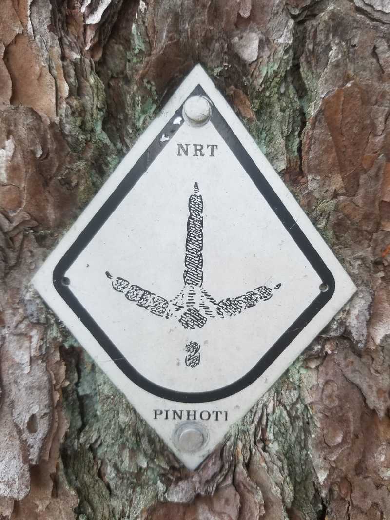
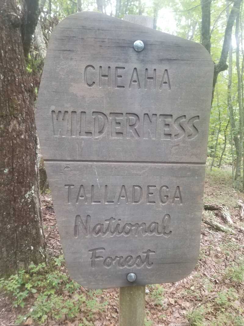
The route in question today is what I’m calling the Cheaha Wilderness Loop which is probably in the 25-28 mile range: sorry I don’t have an exact measurement on this one. This loop connects Porter’s Gap to Cheaha State Park and back using mostly trails that cut through the Cheaha Wilderness. Most of these trails are avoided during the Pinhoti 100, but are all part of the Pinhoti Trail (this trail connects Syllacauga, AL to the southern terminus of the Appalachian Trail).

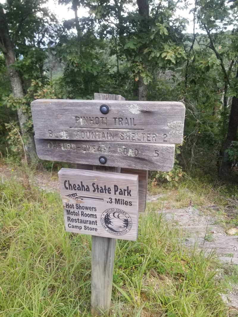
Getting started on this route is fairly easy, you park at the trailhead for Porter’s Gap and cross the road to get started. Don’t use the trail head at the parking lot because that will take you the wrong way. The trail is fairly runnable until you hit the first climb which is really a rock garden that’s nicknamed “Stairway to Heaven”. This route then goes across the ridge until you intersect the Chinnabee Silent Trail. Take that trail through Turnipseed Campground until it puts you out on County Road 600G which looks like a dirt jeep road. You turn right on that and then take a right when it intersects with Cheaha Road which takes you to the park. You enter the park by the lake and then look for the Blue Trail…or known by locals as Blue Hell. This is the biggest climb of the route which goes up 1000 feet in about a mile. Get to the top of that and make your way to the front entrance of the park where there are bathrooms and a park store to buy food and drinks. Cross the highway and pick up the Pinhoti Trail for the entire reverse back to where you started.

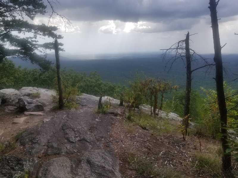
Here is some insight to how my day went when I did this as a training run. I started pretty late in the morning so I was conscious of the time since I neglected to bring a headlamp. Temps got up to the mid-80s for the day so I was fine just carrying a couple bottles of water and a cliff bar. I felt good with the climbs and really loved seeing the views from the ridges which really took me away and reminded me of the beauty of Alabama. When my day went south was when I was making it up to the top of Cheaha State Park…just a bad spot for the run that I didn’t prepare enough for. But, by the time I got to the store and bought some fluids and food (bring some money)…I felt much better. The return trip to the car was fairly uneventful and made it to my truck before sundown. On the drive home I was treated to a lively lightning storm as I reflected on a long day in the woods.
Happy Trails
Ryan
I'm ready for more adventures!
